


One Platform. Infinite Plant Insights.
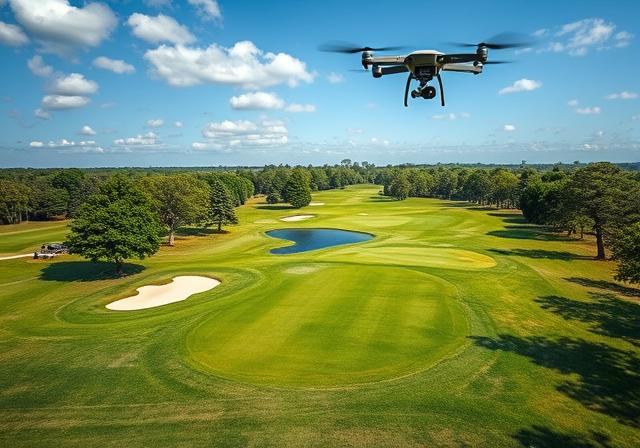
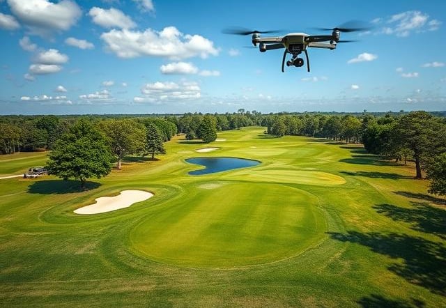
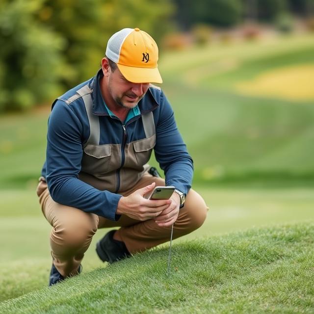
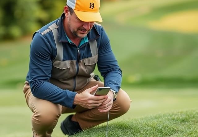
PhytoMaps uses drones to capture detailed plant health data from above. We help golf courses, gardens, and parks plan smarter and care better with precise aerial insights. No more guesswork!

Whether you're managing crops, trials, or turf,
Phytomaps brings clarity from above.
What We Do
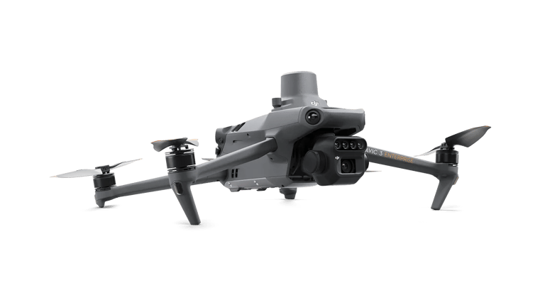
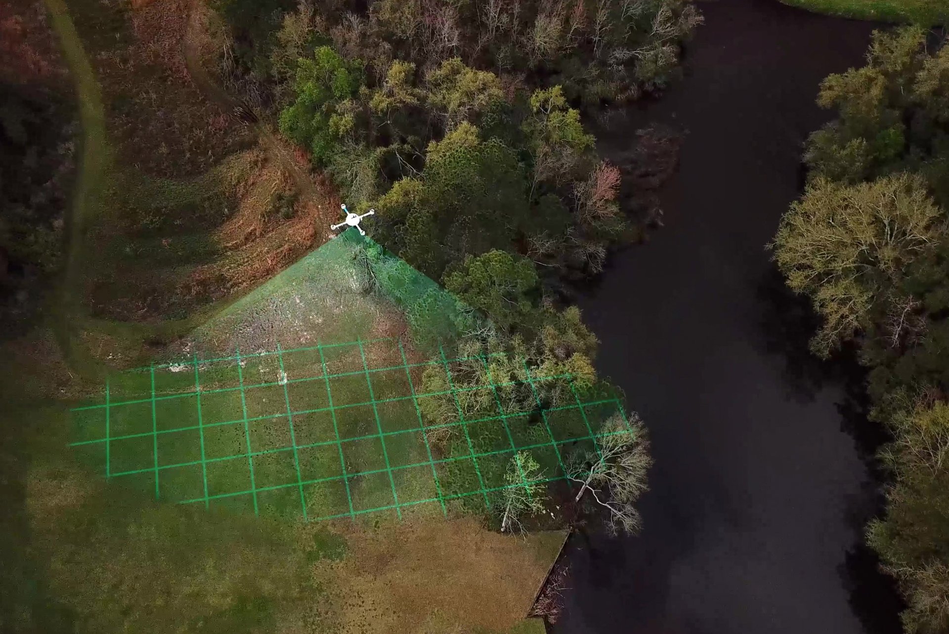
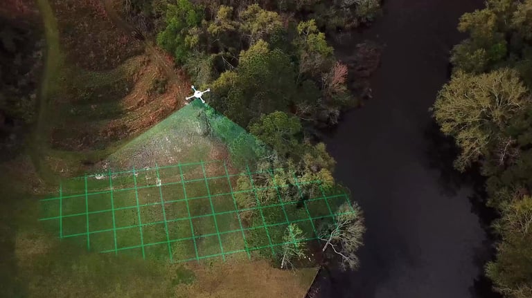
Drone Scanning
We fly over your property to collect precise & accurate image data
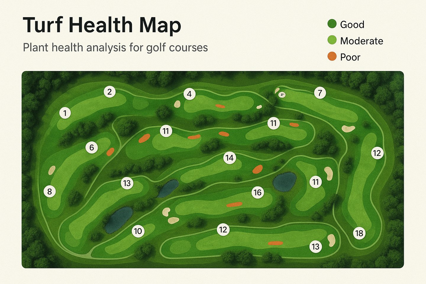
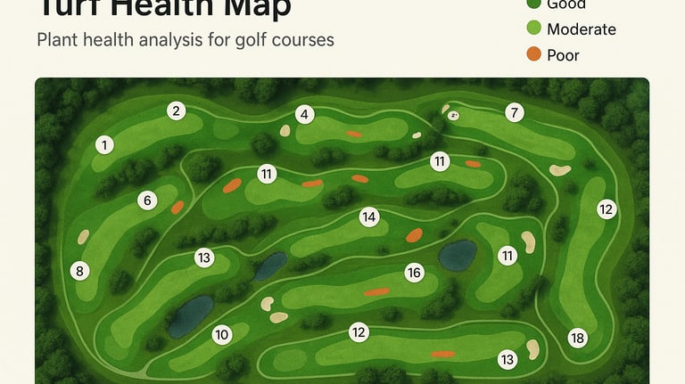
Health Mapping
We detect early stress signals in grass, trees, and plants.
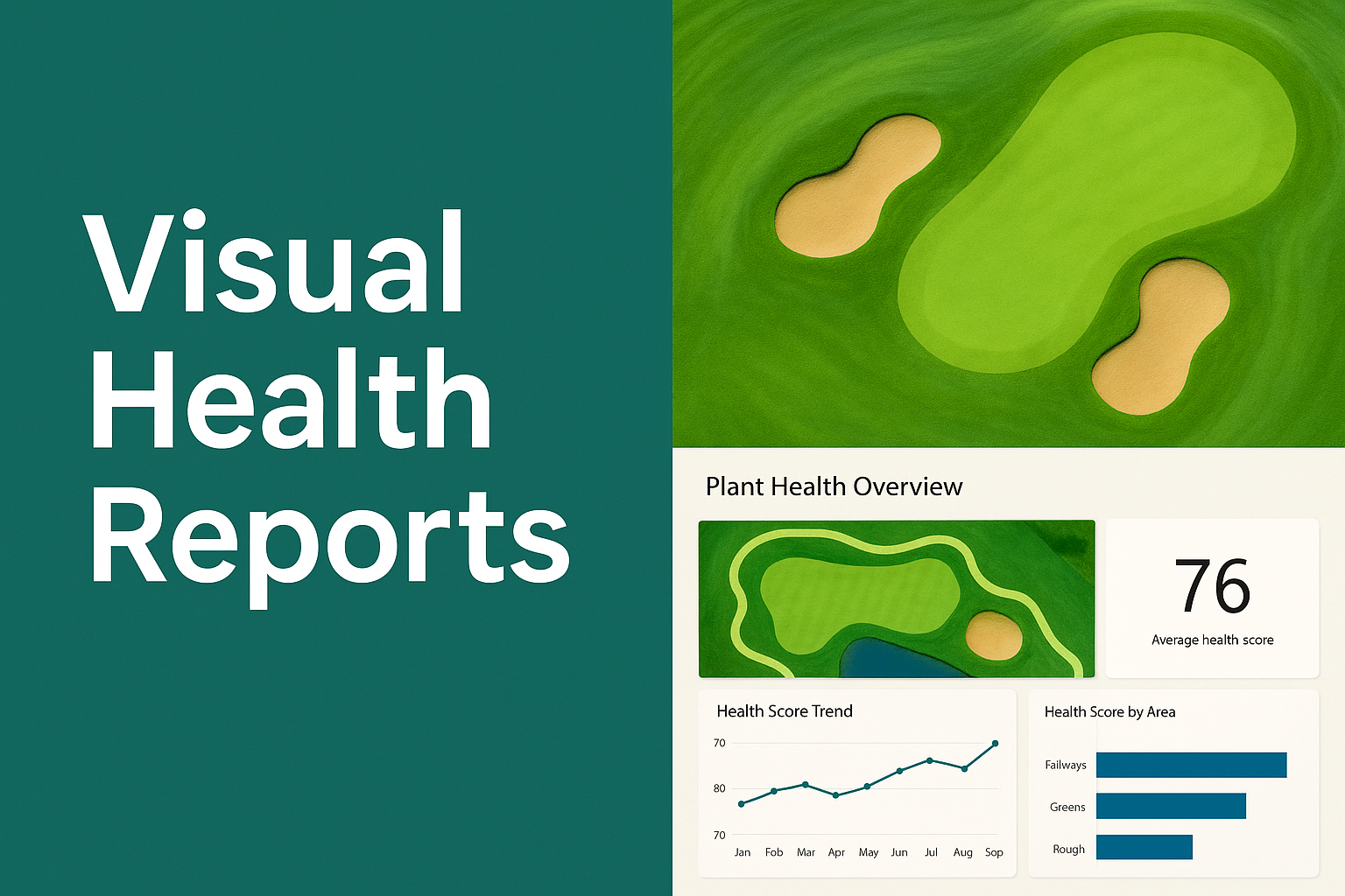
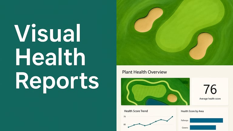
Visual Reports
We generate easy-to-read insights that help you act fast and smart.


Consultation
We deliver data-driven tips to reduce costs and improve landscape care.
How It Works
1. Book a Flyover
Choose a date and time for the drone flight.
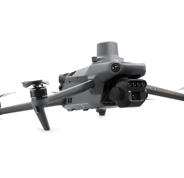
2. We Scan Your Site
Our drones capture multispectral images with precision.
3. Get Your Report
Review maps and insights tailored to your landscape’s needs.
Why Choose PhytoMaps?
Smarter Greenkeeping Starts Here – Better data, better decisions.
See what your eyes can’t – Drones uncover hidden issues.
Work Smart, Not Hard – Save water, time, and manpower.
Pro-Quality Turf – Keep every patch lush, healthy, and game-ready.
More insight, less input – Do more with less.
Smarter inputs, greener results – Boost sustainability with precision.
Cut chemical use, not corners – Treat only where it’s needed.
Ready to see your landscape from above?
Innovative Insights for Thriving Landscapes
Phytomaps uses drones to capture detailed plant health data from above. We help golf courses, gardens, and parks plan smarter, care better, and keep landscapes thriving—using accurate aerial insights instead of guesswork.


Advanced Plant Health
Optimizing golf course care with drone-based plant health insights
Multispectral Drone Services
Assess plant health and detect diseases with advanced drone technology for golf courses.
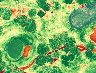
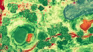
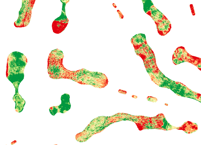
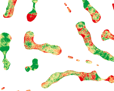
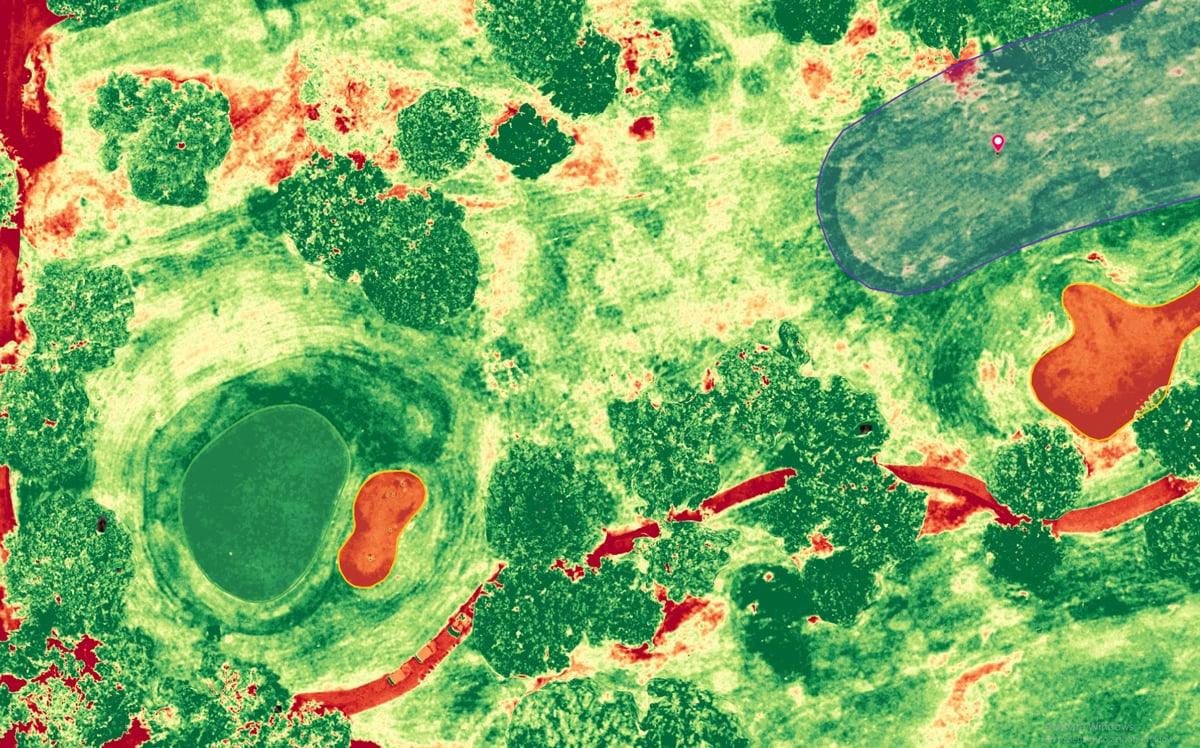
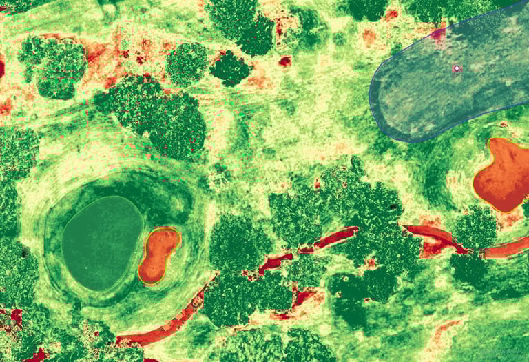
Vegetation Indices Analysis
Measure NDVI and other indices to enhance grass health and maintenance strategies effectively.
Informed Decision Making
Empower course managers with data-driven insights for better agronomic practices and disease detection.
Precision Drone Mapping
Plan better. Maintain smarter. All with drone accuracy.
Optimized Maintenance Solutions
Improve player experience through efficient maintenance planning and insights from drone data.
Accurate Distance Measurements
Utilize drones for precise distance and elevation measurements on your golf course.
Capture detailed terrain features with our state-of-the-art drone imagery services.
High-Resolution Imagery
Our Services
Expert drone-based insights for enhanced plant health in diverse environments across your landscapes.

Smart Plant Diagnostics
Use drone-captured multispectral data to detect plant stress early. Know what’s thriving, what’s struggling, and exactly where to intervene.
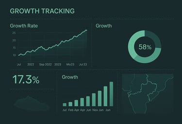
Growth Tracking
Monitor how your landscape evolves over time. Track turf and plant development across seasons to fine-tune, care and boost long-term quality.
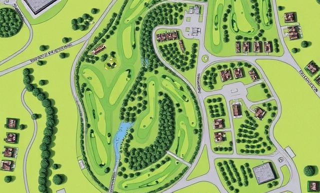
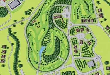
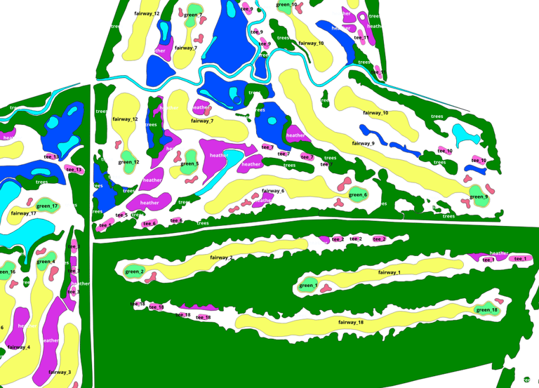
Property Mapping
Generate accurate aerial maps of your entire golf course, park, or garden. Ideal for planning, documentation, and management workflows.
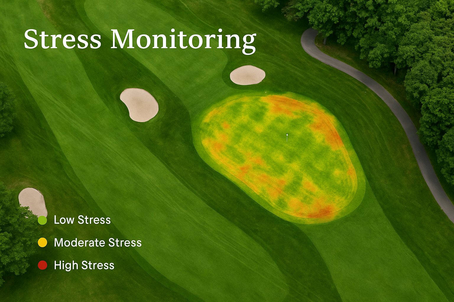
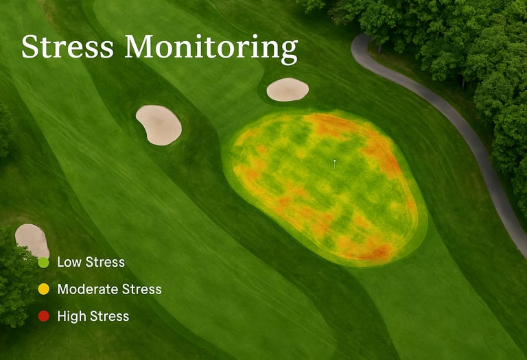
Stress Monitoring
Identify drought, disease, or nutrient issues before they’re visible to the eye. Take action early to prevent damage and save resources.
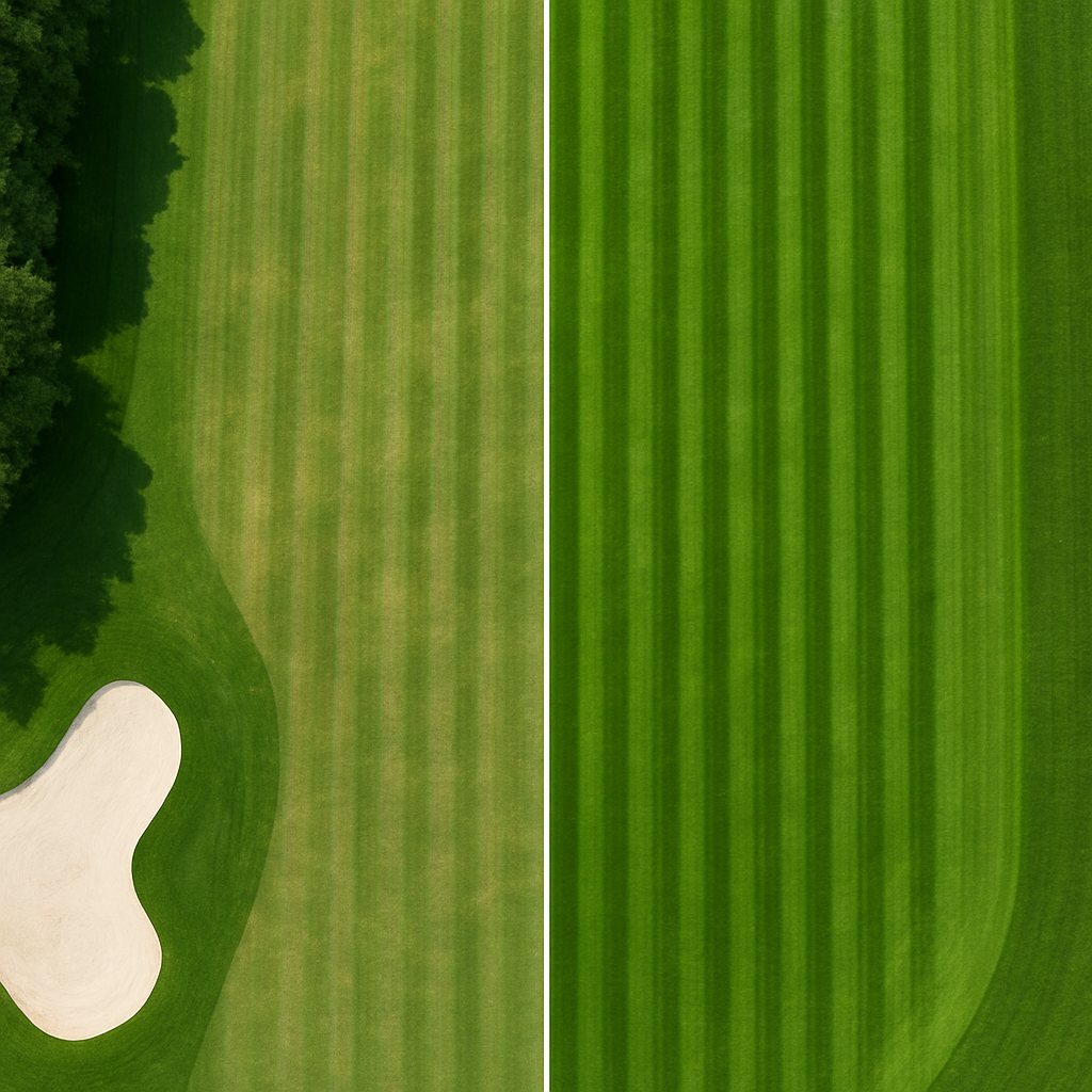
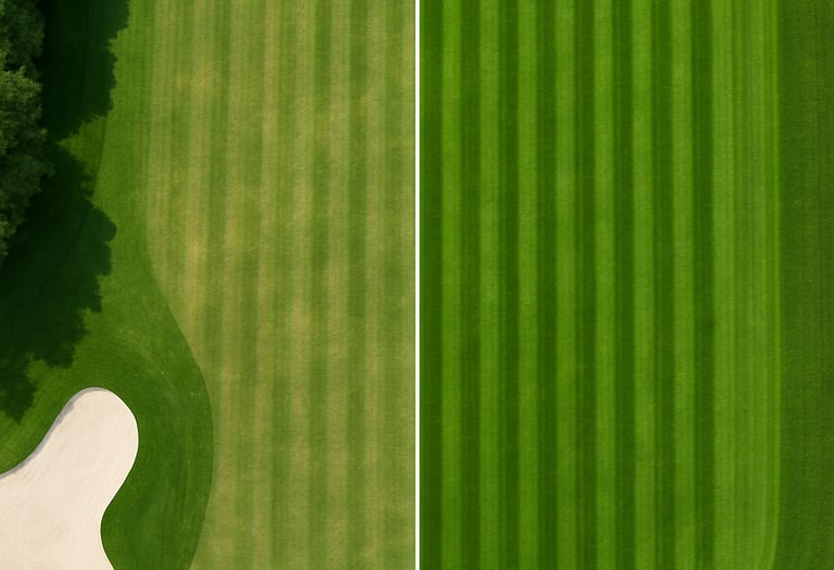
Spray Impact Visualization
See the difference before and after treatment. We validate the effect of fertilizers, pesticides, or bioproducts using precise, high-resolution drone imagery.
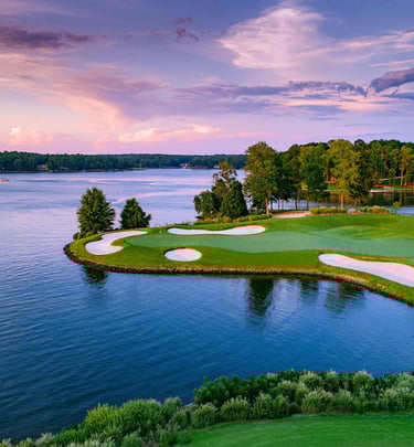
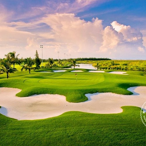
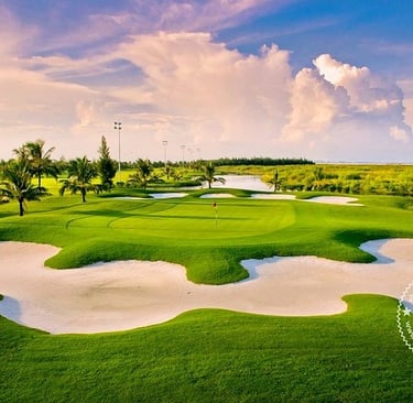
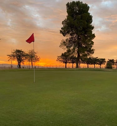
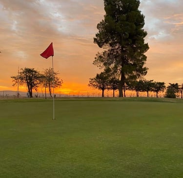
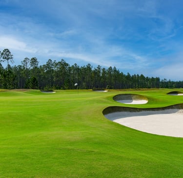
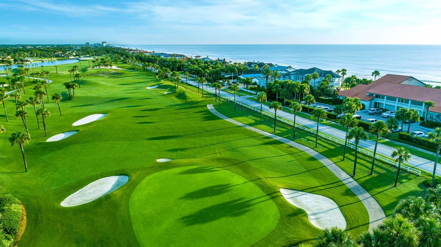
Gallery
Explore our stunning drone imagery of vibrant landscapes and plants.